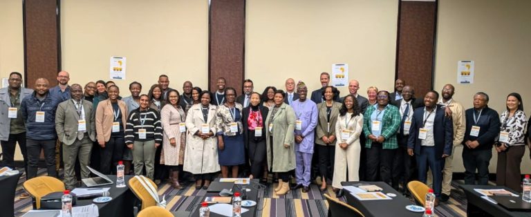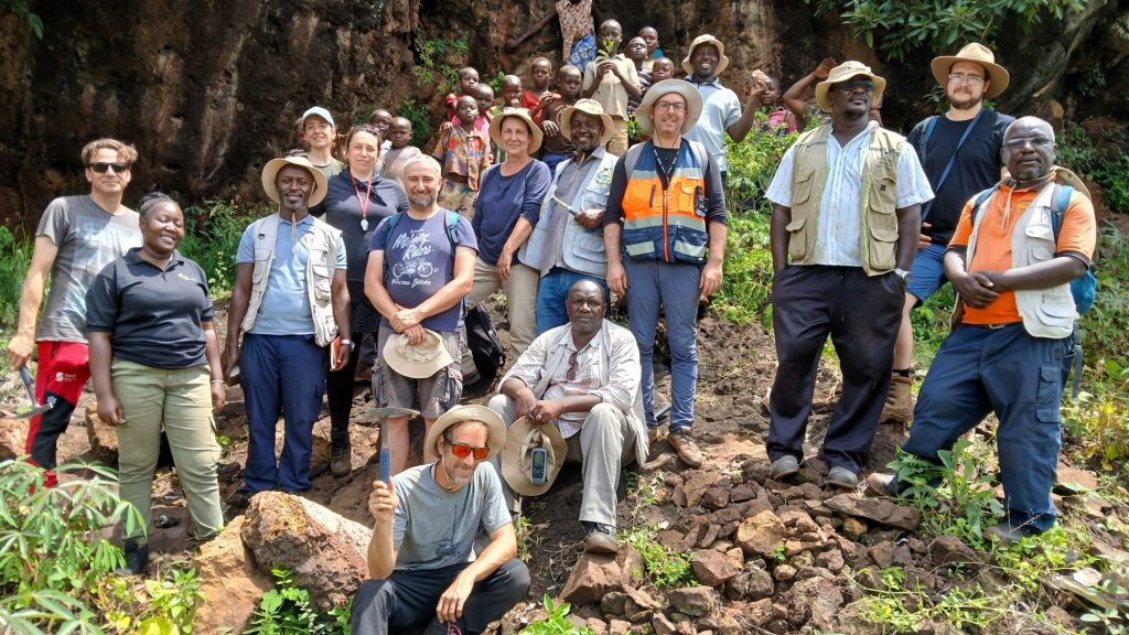
A team of 18 geoscientists from Uganda, the Czech Republic, Slovenia, and Portugal conducted mineral exploration activities in the first selected target area in Uganda, aiming to promote Uganda’s mineral resources for further potential development.
During a three-week field campaign in May 2026, the team, comprising geologists from the Directorate of Geological Survey and Mines of Uganda (GSD), the Czech Geological Survey (CGS), the Portuguese Laboratório Nacional de Energia e Geologia (LNEG), and the Geological Survey of Slovenia (GeoZS), carried out geological mapping in the Bukusu and Bududa carbonatite complexes in the Manafwa and Bududa districts.
The Bukusu and Bududa carbonatitic bodies are part of the Cenozoic alkaline intrusions that form a larger suite of alkaline complexes in eastern Uganda. The Bukusu carbonatite complex comprises carbonatite breccia in the partially eroded core, surrounded by alkaline silicate and carbonatite ring-dykes, emplaced within rocks of a Na-K metasomatic halo. Together with the Bududa carbonatites, it is the largest carbonatite complex in the region.
Although the Bukusu area contains several mineral deposits, including vermiculite at Namekara, phosphate at Busumbu, and magnesite at Nangalwe, carbonatites in this region are also notable for their enrichment in several critical raw materials (CRM) such as Rare Earth Elements, Niobium, Zirconium and Titanium.
The primary objective of this initial field campaign was to carry out detailed geological mapping and produce a geological map of the Bukusu and Bududa area at a scale of 1:25,000, supplemented by comprehensive explanatory notes. These outputs will form the basis for subsequent phases of exploration investigation, specifically geochemical and geophysical investigations.
The work was organised into six groups (comprising members of GSD, CGS, and GeoZS): five focused on geological mapping, while the sixth managed community sensitisation activities and liaised with the local population. Over three weeks, approximately 220 square kilometres were mapped, delineating areas of carbonatite rocks, carbonatite breccias, and the extent of the metasomatic halo zone. During mapping, soil and rock samples were collected for detailed chemical and petrological studies.
Furthermore, during this field campaign, members of the geochemical and geophysical teams from LNEG and GeoZS made preliminary observations of the area to collect soil samples from the excavated soil profiles and assess site conditions, which will aid in planning forthcoming research activities.
The work carried out during this field campaign will improve our understanding of the local geological settings, helping to identify areas for further detailed mineral exploration.
Contact: Emil Pučko, Geological Survey of Slovenia (GeoZS) – emil.pucko@geo-zs.si