
The International project PanAfGeo2 is targeted at the practical improvement and capacity building for the staff of geological surveys of African states. It has been moving around Africa, to anchor the crucial practical training in the field of geoscientific mapping in Windhoek, Namibia. It is supported by the EU and co-financed by twelve European geological surveys united under EuroGeoSurveys.
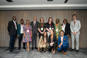
Its “Work Package A” is focused on practical skills in the field of geoscientific mapping and represents the most variegated work package of seven work packages included in the programme. The WP A training in Namibia opens the second phase of the programme, in Windhoek after three years of rotation through Ethiopia, Morocco, Senegal and Namibia. The awarding of the participants certificates and the official closing ceremony will be held at the Geological Survey of Namibia on Friday 28 September, at 14.00.
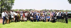
The program takes 28 days, combined with hands-on lectures, field excursions, demonstration, practice in instrumental methods, and a mapping part. The field part was conducted in small groups of trainees, each of them supervised by one expert. The training was coordinated by the Czech team and launched thanks to the joint effort of the experts from the Czech Geological Survey (CGS), Portugal Geological Survey (LNEG) and the Geological Survey of Namibia (GSN), supported also by local independent experts. A total number of 25 trainees representing 13 African countries are being trained during this course, accompanied also by junior staff members of the GSN.